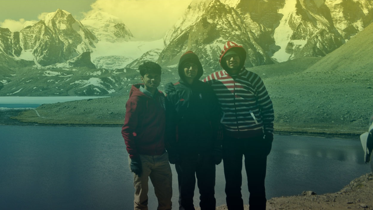
Expedition in Nepal (Peak Climbing)
The 33 Nepal Mountaineering Association (NMA) register peak offer great adventure to the less seasoned climbing enthusiast. The peaks are all les than 6500m. and involved moderate technical challenges in rocky, icy, snowy or glacier terrains. The use of rope and other mountaineering equipments is necessary and it is strongly recommended that the climbers have experience with snow, ice and glacier traversing. These peaks are significantly less costly than large scale expedition to the Government of Nepal regulated peaks. All climbers are required to obtain permission for peak climbing through the NMA of which AATE is an active member. AATE can provide all the necessary mountaineering/ climbing equipment, fully trained guide and all the logistical support necessary to realize a successful summit. Here are various trekking peaks in the Everest, Annapurna and other regions of Nepal.
EXPEDITION
Mera Peak (19 days) (Comperatively easier)
Mera is one of the most beautiful and the highest of Nepal's permitted trekking peaks. It rises from the south of Everest and dominates the watershed between the wild and heavily wooded valleys of the Hinku and Hongu Drangkas, and is not truly speaking part of the Khumbu Himal.
Island Peak (23 days)
Seen from above Dingboche the mountain does indeed resemble an island in a sea of ice. In 1983 it was renamed Imja Tse (6,189 m, although for most people the descriptive name of Island Peak seems to have been retained). This peak involves one steep and exposed 100 m ice or snow climb, otherwise its non-technical
Chulu West Peak (27 days)
Of the two Chulus (East and West), Chulu West is the higher peak. The first ascent in to Chulu West in 1952 by a Japanese Expedition team. It is lies in a small valley north of Manang; off the main trail to the Thorong La. Chulu East was climb by a German Expedition team in 1955 via the North East Ridge.
Lobuche East Peak (21 days)
Lobuche at the height of 6145m, is an attractive summit, offering a variety of existing routes and a wide scope for new lines. This peak lies in the Everest region of Solu Khumbu district and is reached by trekking for about 7/8 days from Lukla the nearest airport. There exist two distinct summits to Lobuche Peak.
Pachermo Peak (22 days)
This peak of 6187m, located in a Rolwaling region, can be approached either from Rolwaling or from Khumbu. Both treks have to be fully organized as there are no tea houses. Its an attractive mountain, but steep snow climbing is necessary on a route subject to avalanches. The peak is just above.
Tharpu Chuli Peak (20 days)
This peak, also known as Tent Peak, is situated in the heart of the Annapurna Sanctuary, around 15 days walk from Pokhara. It is an attractive mountain and part of the ridge line south from Glacier Dome, that includes Singu Chuli and acts as a central divider between the semi circle of peaks enclosing the sanctuary.
Ramdung Peak (23 days)
Requires a long approach through Rolwaling valley, it is situated south of Na in the upper Rolwaling and is one of a cluster of peaks around the Yalung La, a pass giving access to the upper Rolwaling from the south, via the Khare Khola. The peaks in the areas were first explored by the Scottish Himalayan expedition.
Singu Chuli Peak (24 days) (technically hard)
Singu Chuli with a height of 6105m, is the mountain formerly known as Fluted Peak. Although it has quite an easy access, this mountain has proven too difficult for most commercial climbing groups, so most of them concentrate their efforts on Tent Peak. This peak of 6501m is named for the steep ice slopes and can
Pisang Peak (25 days) (technical)
Pisang Peak (6091m) rises from yak pastures above the village in a uniform slope to the final summit pyramid, which is an undistinguished snow and ice slope. The peak obviously has a lot of scope for exploration and pioneering. The whole of the western flank, which is guarded by a hanging glacier.
Naya Kanga Peak (18 days)
Naya Kanga (5844m) is shapely mountain rising to the west of the Ganja La (5,122 m), which is a popular, although at times difficult, pass giving access to Helambu. Naya Kanga was formerly called Ganji La Chuli. Summitting Naya Kanga offers you a superb views of peaks close to or in Tibet. You get stunning a panorama.
+91-9832564013 +91-9002069916
sikkim444@gmail.com


 Anirudha Paul