ZULUK SPECIAL PACKAGE

The famous silk route that connected Lhasa (Tibet) to Kalimpongwas in use even a few decades ago until the Chinese invasion in Tibet. Zuluk / Dzuluk, located in East Sikkim, used to be a small village on this route. It was commonly used by traders traveling to Tibet through Jelep-la ("La" stands for mountaipass) (It is and overnight base) Today it is fast emerging as a new tourist destination in East Sikkim. Zuluk derives its tourism importance due to the excellent view of the eastern Himalayan mountain range including the Kanchenjunga that it offers. A trip to the area requires special permits. The permits though would be arranged by naturebeyond, and as a guest you would only need to provide your id proof and photograph. Zuluk is a small village with population of about 700 people. There is an army base which is used as a transit camp for the army movement to the Chinese boarder a few kilometers away. During the summer months, the area and its surrounding hills are covered with thousands of blooming rhododendron. Zuluk during these months, is a riot of colors due to the variety of rhododendron that can be seen here.

Weather: Zuluk at an altitude of about 7,000 ft offers pleasant weather during most of the year. The rainy season is a little protracted and heavy to very heavy showers are common. The winter may see snowfall in the area. The summer temperature would be varying near 20 degree Celsius with substantial difference between the day and night temperature. Tourists visiting the area are advised to carry worm clothing and umbrella. Wildlife sanctury: Zuluk is surrounded by wild forest, some of the forests are completely virgin. Sighting of Deer, Wild Dog, Himalayan Bear the red panda is not very uncommon. Some tigers have also reportedly been sighted in the area. A variety of birds can also be seen such as Monal Pheasant, Blood Pheasant, Khaleez Pheasant, Snow Pheasant and others. How to reach zaluk: Zuluk is about 3 hours from Gangtok. You need to pre arrange special permit for visiting this restricted area that is issued from a place called Rangli or it can be arrange at sikkim infromation center at gangtok.
Itinerary for 1N/2D
Day 01 Pick Up from Gangtok, NJP (Siliguri) or Bagdugra to LIngtam via Rangpo, Rongli Bazar, Sisney Aritar lake (lampokhari lake) and overnight stay in Lingtam or Zaluk.
Day 02 Lingtam or Zaluk to Gangtok(Silk Route) via Phademchen view points, Q-khola Falls, dhupidara, Lungthung, Salamidara, Tukla Dara (Baba dham), Gnathung, Kupup, Sarathang (China Market) Nathula Pass, Changu Lake, Mandakeni Falls.
Itinerary for 2N/3D
Day 01 Pick Up from Gangtok, NJP (Siliguri) or Bagdugra to LIngtam via Rangpo, Rongli Bazar, Sisney and overnight stay in Lingtam.
Day 02 Sunrise at Ganak Dara (1200ft. Alt) via Zaluk Silk Route (Zig Zac Road 1, 2 & 3, Thambi View, Salami View points, Bhutan View, Black Lake, Old Baba Mandir, Gnathang Velley, Tugla Battle Field, Elephant lake, Jelepla Pass, Mac Mohan Line ( Indo China Border). Overnight Zaluk.
Day 03 Kupup Valley, Memen-chu lake, New Baba Mandir, World Highest Golf Course (Gunnies Record), Young husband treck, Sharathang Trade Mart, Thangu lake, Nathula Pass and Gangtok Overnight stay at Gangtok.

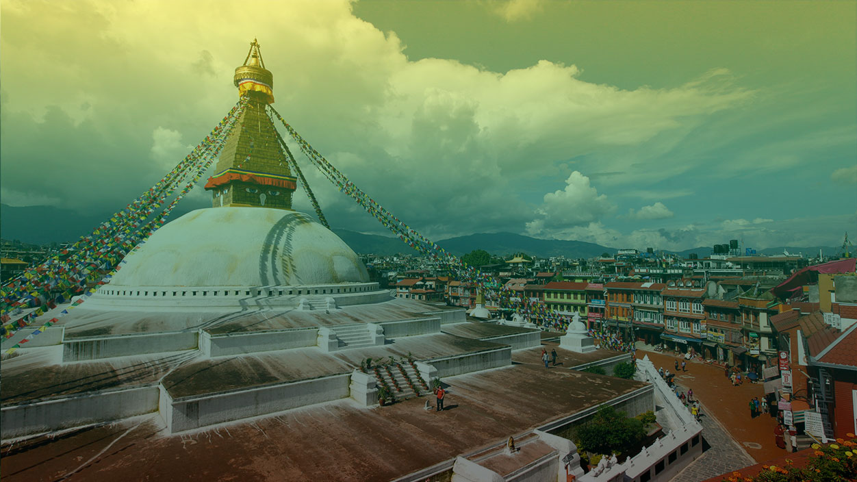
The way to Bhutan Till Bhutan embarked on a planned economic development in the early 1960’s, Bhutan by and large remained cut off from the rest of the world. The country was accessible only by foot. The two main entry points to the country was from the North and from the South. From the north, the entry was from Tibet and was possible crossing the high passes while from the South it was through the plains of Assam and West Bengal. However, with the planned economic development, accessibility became easy with motorable roads connecting Bhutan with the other parts of the country. Today the main points of entry are through Phuentsholing in the south that links Bhutan with the Indian plains of West Bengal, through Gelephu and Samdrup Jongkhar that links with the Indian state of Assam and through Paro, where the entry is through Druk Air, the National airline of Bhutan.

Travel by Air The country has so far only one airport that caters to the needs of visitors coming in through flight. However, an international airport is under construction in Gelephu that will eventually provide passengers with a choice of their entry to Bhutan. The Bhutan’s only international airport at Paro, is located at a height of 7300 ft above sea level and surrounded by mountains and hills as high as 16,000 feet. Druk Air is the national air operating with two A319. It flies to destinations that include Bangkok, Delhi, Kolkata, Bodh Gaya, Dacca, Kathmandu and Guwahati in Assam and Plans are also underway to invite other private airliners. The flight between Paro and Kathmandu is one of the most exciting ones as the aircraft passes over 4 of the 5 highest mountains in the world. In fine weather, as you soar higher up, you can enjoy the spectacular display of Mt. Everest, Lhotse, Makalu und Kangchenjunga at their best.

Travel by Land Phuntsholing, Gelephu and Samdrup Jongkhar in eastern Bhutan are the only land border areas open for international tourists. The town of Phuntsholing is located approximately 170 km east of the Indian national airport Bagdogra. After crossing Phuntsholing, your journey then begins its mountainous climb through endless turns and hair-pin bends till you enter Thimphu, the capital city. The travel time for the 176 km stretch can be more than 6 hours. Gelephu in South-Central Bhutan is another entry point to Bhutan. It is approximately 250 kms from Thimphu and the journey will take you through the sub-tropical areas of Bhutan before entering the alpine zone and then finally into Thimphu. One will have to traverse across three Districts and the travel time will be about ten hours. Samdrup Jongkhar is the only entry point in eastern Bhutan. The town borders the Indian district of Darranga, Assam and is approximately 150 kms away from Guwahati, the capital city of Assam. The journey from Guwahati is about three hours. Tourists entering Bhutan through Samdrup Jongkhar will take you to Trashigang, the largest District in the country, and from there over the lateral route to Mongar, Bumthang, Trongsa, Wangde Phodrang and then finally into capital, Thimphu. The distance is about 700 kms and will take you a minimum of three days to reach Thimphu

By Air There is one national airline Druk airlines that flies to Bhutan.

NEED HELP ?

Our most experienced guides about all advenure types (+91) 9832564013

Mail to: sikkim444@gmail.com

WHY CHOOSE US???

We comprise a team of highly dedicated, motivated and committed “Tour Leaders” and staffs with zeal to provide help and high quality
services to our customers who are our “Guests”.

" WHAT OUR CLIENTS SAYS "

Write Your Feedback
 Write Your Feedback

Don’t miss our exclusive offer

Tamu Tours and Treks 2018 | Powered by: Rumtek Technologies